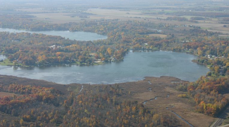
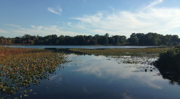
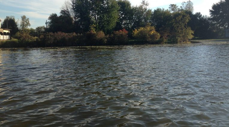
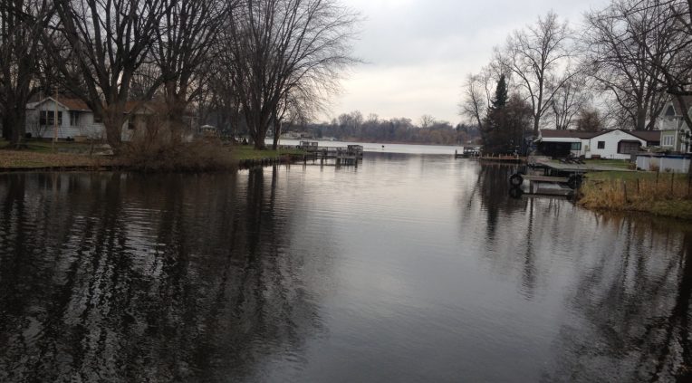
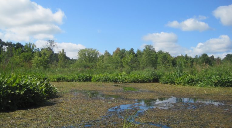
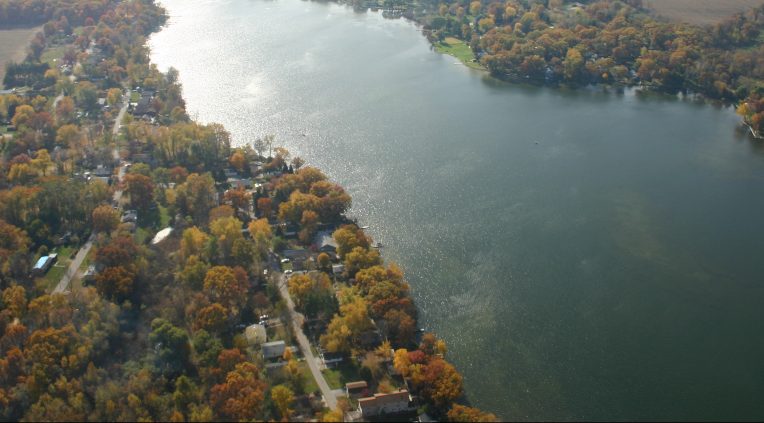
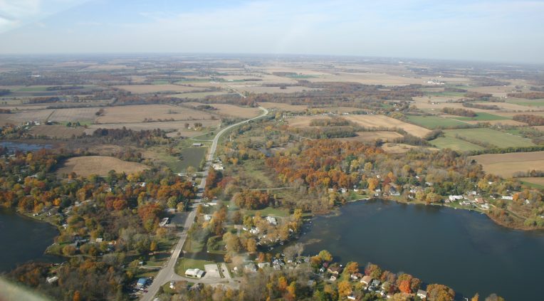
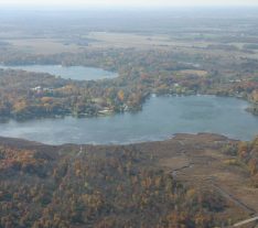
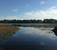
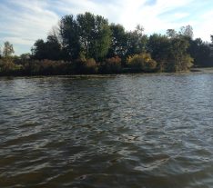
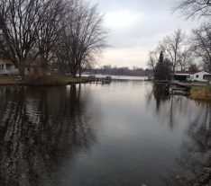
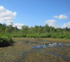
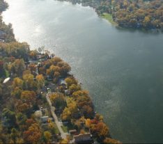
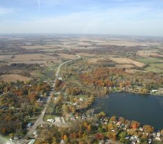


The Fish Lake watershed comprises 6,490 acres of LaPorte County in northwest Indiana and is situated within the headwaters of the Kankakee/Iroquois regional basin. Over the past three decades, concerns have been raised about a general increase in aquatic vegetation, lake sediment, and a decline in fishing quality.
Northwater was retained by the Fish Lake Conservancy District to address lake concerns and develop the Fish Lake Chain Watershed Diagnostic Study and Plan. The study and plan were partially funded by the State of Indiana, Lake & River Enhancement program (LARE).
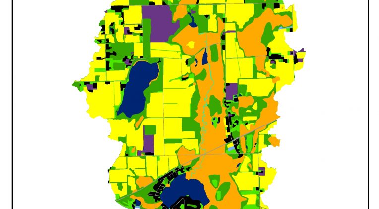
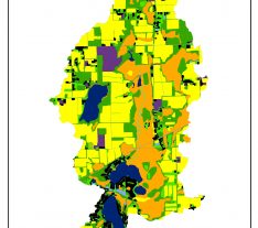
Technical roles included detailed watershed characterization, water quality sampling, data mining and analysis, a custom landuse map layer and pollution load model, lake sediment analysis and identification of over 50 site-specific projects. A field survey and the custom model helped characterize the watershed and identify the most appropriate lake and watershed management measures.
Northwater also led and participated in stakeholder and public meetings and coordinated and met with local landowners. The project was completed under a very aggressive schedule and budget and met the stringent requirements of the LARE program.
We are happy to answer any questions you might have!