Synopsis
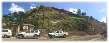
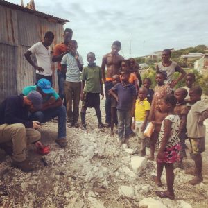
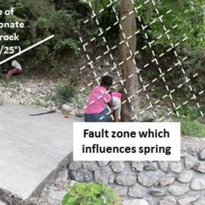
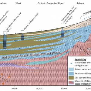
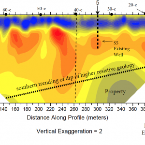
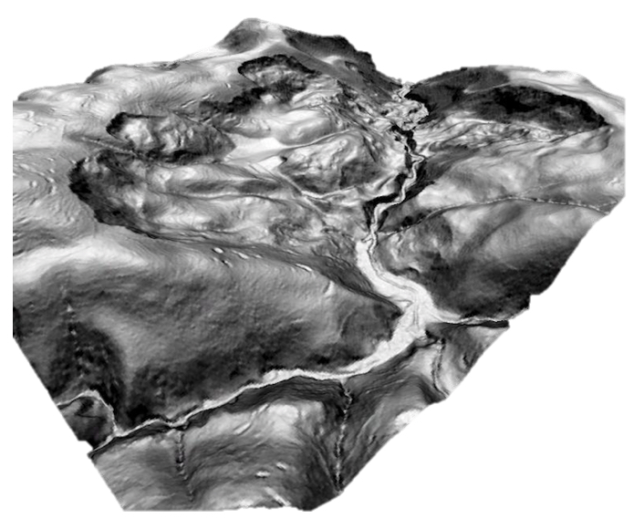
A geological engineering assessment was performed to identify potential hazards and mitigation solutions related to several infrastructure projects in mountainous terrain. Geohazard mapping was performed using 1.5m resolution LiDAR data and multi-temporal optical imagery. Field reconnaissance was performed to refine geological mapping and further characterize features of concern and guide design modifications, rerouting, and mitigation. In one zone, 790 features were mapped in a 15-km2 area and several of them were unknown features that were considered a high hazard to the proposed infrastructure; over 30 features were considered a moderate hazard.
-
Client(s):Inter-American Development Bank
-
Services:
-
Market/Sector:Government, Infrastructure
-
Location:Hispaniola, West Indies

