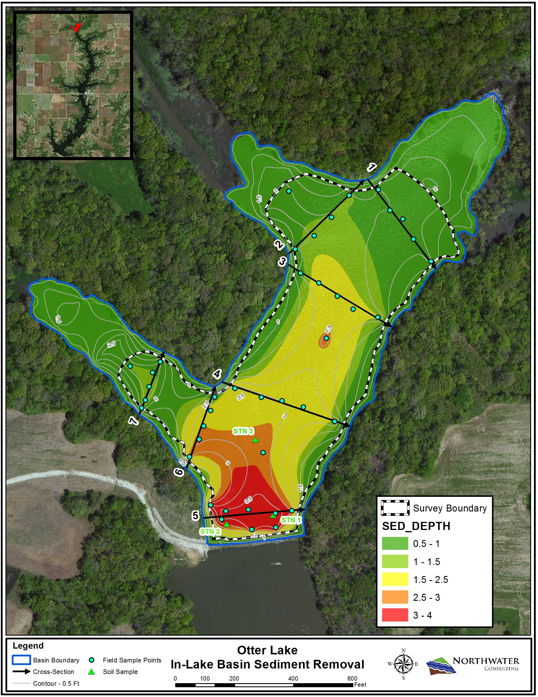
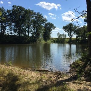
An in-lake basin was constructed by installing a rock and articulated concrete block weir structure at the north end of Otter Lake in 2002 to manage sediment and nutrient contributions originating from the watershed. This basin was evaluated in 2017 to determine the extent of sediment accumulation and to evaluate its current storage capacity relative to its original dimensions. A total of 41 measurements were taken along 7 established cross-sections as well as midpoint locations between each cross-section.
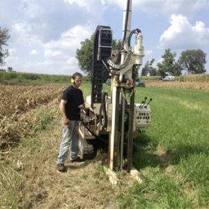
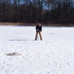
Water depth measurements were recorded using a sounding pole fitted with a six-inch diameter disk to measure to the top of sediment and a one-inch diameter aluminum range pole to measure the depth to hard bottom. Data was then transferred into a GIS system. Three sediment cores were also obtained to determine sediment composition and chemistry.
An estimated 41% of the basin’s storage capacity had been lost due to sediment deposition. The study concluded that shallow water depths combined with soft, flocculent sediment likely increase the frequency of sediment and nutrient remobilization to the main body of the lake, especially during high flow events. This primarily fine grained and phosphorus-rich sediment then becomes a source of nutrients within the lake.
The evaluation recommended maintenance dredging of the soft, accumulated sediment upstream of the in-lake dam. Hydraulic dredging using a small, portable cutterhead dredge and pumping the sediment via pipeline to the designated sediment storage and dewatering area was proposed. Dredging activities are moving forward based on recommendations.
Read about other complementary efforts at Otter Lake….
Otter Lake Source Water Protection
Otter Lake Water Source Protection – Program Implementation & Construction
Otter Lake Shoreline Erosion Assessment & Mapping
