Jim C. Hasbrouck, PGp

About Jim

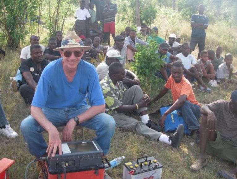
Mr. Hasbrouck is an internationally recognized geophysicist and has mapped shallow and deep aquifers using geophysical technologies throughout the world. Jim has over 40 years of private sector and government experience in all aspects of geophysics including project design, field operations, data processing, and interpretation for groundwater, engineering, environmental, minerals, hydrocarbons, and national security applications. Extensive knowledge and experience in all major surface, airborne, and borehole geophysical methods including: refraction and reflection seismics; electromagnetics; electrical resistivity and induced polarization; gravity; magnetics; ground penetrating radar; radiometrics He has worked throughout North and South America, the Caribbean, Africa and Asia.

Our Team

The AFT has been working with Northwater since 2014 and have been impressed with their work ethic and technical watershed management expertise. This prompted us to engage Northwater to build a water quality model to support our initiates in the Upper Macoupin Creek watershed. After researching other water quality models, we determined that their SWAMM system was the most applicable to our project needs. We are utilizing it to determine cropland areas where in-field management measures, precision outreach, and conservation practices will have the greatest impact on improving water quality. The model has quickly become a reliable tool to support our ongoing efforts. The staff at Northwater are a pleasure to work with and we will continue to engage them to support other AFT initiatives in the Midwest.

- Kris Reynolds, Midwest Deputy Director, American Farmland Trust

Have Questions for Us?

We are happy to answer any questions you might have!